US EHE/ECE GridEX Data Loading

gridex
tutorial
How to load GridEx data?
Author

Pedram Fard

Published

January 15, 2024

Quick tutorial on loading the EHE/ECE GridEX data

Loading the base spatial data set including Counties and States boundaries

states_file_path <- url('https://github.com/epedram/us_ehe_ece/raw/main/iv_ehe_ece_data_integration/data/us49_states_geo_tigris.rds')

states_geo <- readRDS(states_file_path)[[1]]


counties_file_path <- url('https://github.com/epedram/us_ehe_ece/raw/main/iv_ehe_ece_data_integration/data/us49_counties_geo_tigris.rds')

counties_geo <- readRDS(counties_file_path)[[1]]

plot(counties_geo[1])

Loading the aggregate extreme events data set

events_catalog_file_path <- url('https://github.com/epedram/us_ehe_ece/raw/main/iv_ehe_ece_data_integration/data/States_events_by_type_sf_2008_2022.rds')

events_catalog_sf <- readRDS(events_catalog_file_path)[[1]] %>% 
  dplyr::filter(event_type == "Extreme Heat Event")

glimpse(events_catalog_sf)
Rows: 49
Columns: 10
$ GEOID                         <chr> "01", "04", "05", "06", "08", "09", "10"…
$ STATE_NAME                    <chr> "Alabama", "Arizona", "Arkansas", "Calif…
$ NAME                          <chr> "Alabama", "Arizona", "Arkansas", "Calif…
$ event_type                    <chr> "Extreme Heat Event", "Extreme Heat Even…
$ total_event_days              <int> 357, 226, 281, 493, 291, 89, 108, 93, 53…
$ max_impacted_area_hectare     <dbl> 14492793.2, 37304642.6, 19239879.7, 4423…
$ average_impacted_area_hectare <dbl> 1314253.1, 7129026.6, 2458499.7, 3493038…
$ sd_impacted_area_hectare      <dbl> 2123813.5, 9191985.2, 3579130.2, 5823025…
$ model_params                  <fct> US_ehe_ece_65_counties_6_2_ehcmi__minmax…
$ geometry                      <MULTIPOLYGON [m]> MULTIPOLYGON (((-9802057 35…

Example of merging States boundaries with summarized EHE data

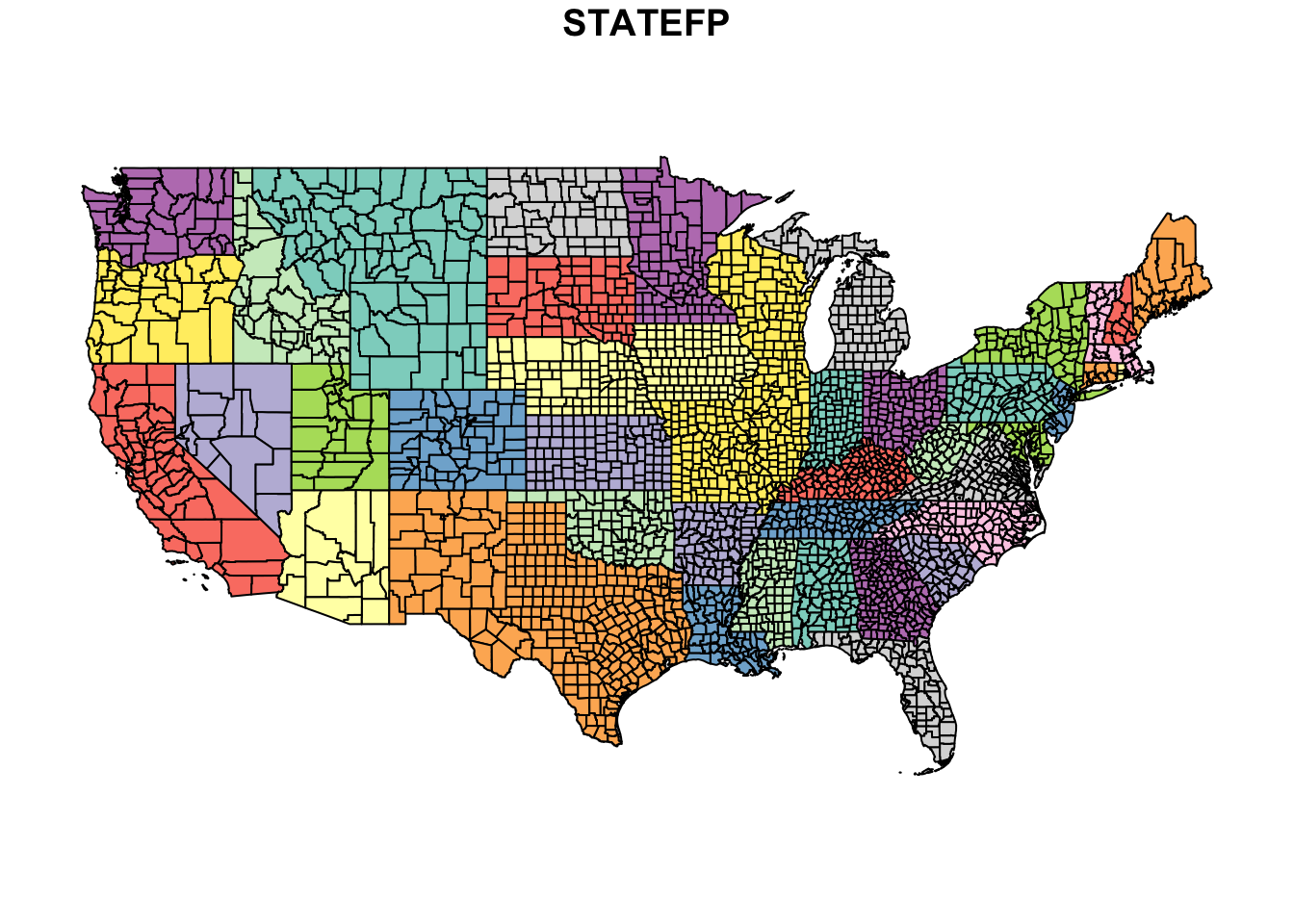
state_boundaris_ehe_catalog <- merge(states_geo,
          events_catalog_sf %>% st_drop_geometry(),
          by.x="GEOID",
          by.y="GEOID",
          all.x = TRUE,
          all.y = TRUE,
          suffix = c("","_sp")) %>% st_as_sf() 

glimpse(state_boundaris_ehe_catalog)
Rows: 49
Columns: 20
$ GEOID                         <chr> "01", "04", "05", "06", "08", "09", "10"…
$ STATEFP                       <chr> "01", "04", "05", "06", "08", "09", "10"…
$ STATENS                       <chr> "01779775", "01779777", "00068085", "017…
$ AFFGEOID                      <chr> "0400000US01", "0400000US04", "0400000US…
$ STUSPS                        <chr> "AL", "AZ", "AR", "CA", "CO", "CT", "DE"…
$ NAME                          <chr> "Alabama", "Arizona", "Arkansas", "Calif…
$ LSAD                          <chr> "00", "00", "00", "00", "00", "00", "00"…
$ ALAND                         <dbl> 131185042550, 294365853885, 134660743067…
$ AWATER                        <dbl> 4582333181, 853990728, 3121974727, 20291…
$ STATE_NAME                    <chr> "Alabama", "Arizona", "Arkansas", "Calif…
$ Climate_Region                <chr> "Southeast", "Southwest", "South", "West…
$ STATE_NAME_sp                 <chr> "Alabama", "Arizona", "Arkansas", "Calif…
$ NAME_sp                       <chr> "Alabama", "Arizona", "Arkansas", "Calif…
$ event_type                    <chr> "Extreme Heat Event", "Extreme Heat Even…
$ total_event_days              <int> 357, 226, 281, 493, 291, 89, 108, 93, 53…
$ max_impacted_area_hectare     <dbl> 14492793.2, 37304642.6, 19239879.7, 4423…
$ average_impacted_area_hectare <dbl> 1314253.1, 7129026.6, 2458499.7, 3493038…
$ sd_impacted_area_hectare      <dbl> 2123813.5, 9191985.2, 3579130.2, 5823025…
$ model_params                  <fct> US_ehe_ece_65_counties_6_2_ehcmi__minmax…
$ geometry                      <MULTIPOLYGON [m]> MULTIPOLYGON (((-9848795 37…

Mapping the summarized EHE data merged with the States boundaries

total_ehe_plot <- ggplot() +
    geom_sf(data = state_boundaris_ehe_catalog,
            aes(fill = total_event_days),
            lwd = .1) + 
    scale_fill_viridis(option="inferno", 
                       direction = -1,
                       na.value = NA) +

    labs(fill = "Total Number of EHE Days (2008-2022)") +

    theme_void() + 
    theme(legend.position = "bottom")

#ggsave("./data/Total_Number_of_EHE_Days_2008_2022.jpg",
#         plot = total_ehe_plot, dpi = 300,
#         width = 22, height = 18, units = "cm")

total_ehe_plot

For more information: